Agricultural Drone

Agricultural Solutions

Precision farming with advanced drone technology

Industrial Inspection

Industrial Inspection

Precision Mapping for Smarter Mining

Mapping & Surveying

Mapping & Surveying

Dual Vision Rail Inspection for Maximum Precision

Security

Security

Real-Time Perimeter Monitoring with Smart Drone Integration

About Us

Authorized Dealer

Certified dealer of leading drone manufacturers

Expert Technical Support

24/7 technical assistance and guidance

Pilot Training

DGCA certified pilots and training programs

Comprehensive Services

End-to-end drone solutions

Our Solutions

Agriculture

  • Crop Monitoring
  • Spraying
  • Soil Analysis

Industrial

  • Infrastructure Inspection
  • Thermal Imaging
  • Asset Management

Mapping

  • Rail and Road Inspection
  • Topographic Surveys
  • 3D Modeling

Security

  • Surveillance
  • Perimeter Monitoring
  • Event Security

Events Coverage

  • Weddings & Celebrations
  • Corporate Events
  • Sports Events

Our Services

Drone Sales

  • Agricultural Drones
  • Industrial Drones
  • Mapping Drones
  • Custom Solutions

Drone Rentals

  • Short-term Rentals
  • Long-term Leasing
  • Event Coverage Packages
  • Custom Rental Solutions

Support Services

  • Technical Support
  • Maintenance Services
  • Software Updates
  • Warranty Services

Training Programs

  • Basic Pilot Training
  • Advanced Operations
  • Maintenance Training
  • Custom Workshops

Client Testimonials

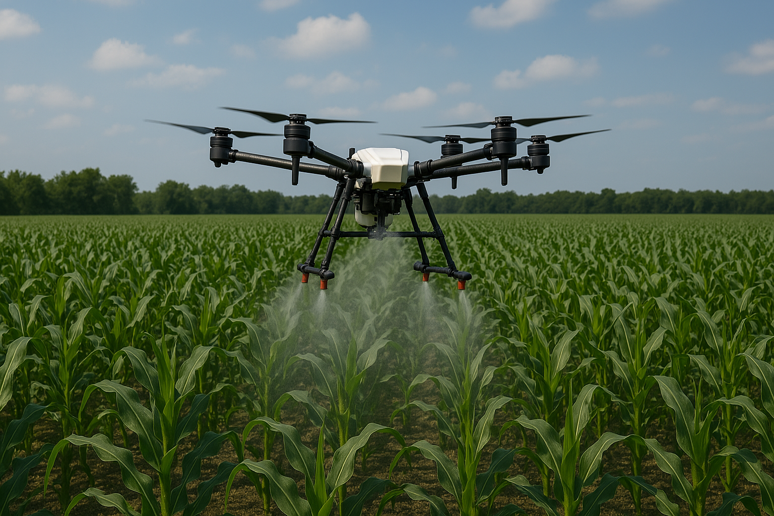
"The automated pesticide spraying system from Mayur Drones revolutionized our farm operations. We reduced pesticide usage by 40% while achieving 95% coverage accuracy. The precision spraying saved us ₹2 lakhs in chemical costs and improved crop health significantly."

Rajesh Kumar

Farmer

"The thermal inspection drones detected critical heat signatures in our power plant equipment. This early warning system prevented a potential shutdown, saving us over ₹50 lakhs in maintenance costs."

Anita Sharma

Infrastructure Manager

"The DGCA-approved training program covered everything from basic flight operations to advanced mission planning. The practical sessions with real-world scenarios were particularly valuable."

Vikram Singh

Drone Pilot

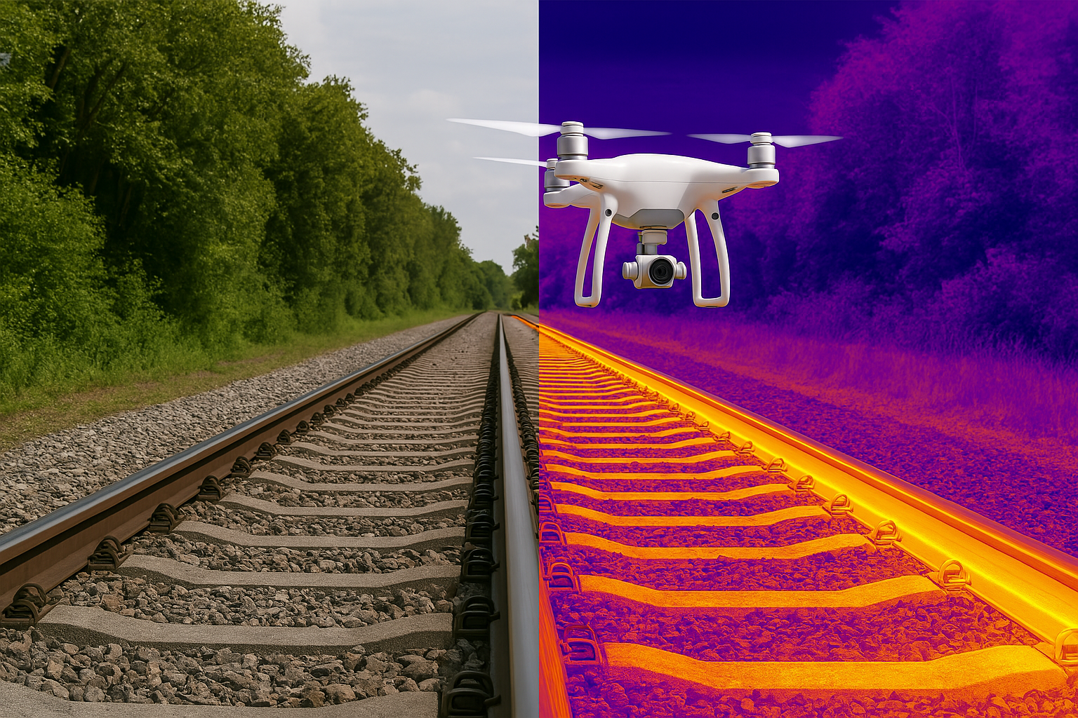
"The dual-camera rail inspection system identified track defects with 98% accuracy. The detailed 3D mapping helped us prioritize maintenance work and reduce inspection time by 60%."

Arjun Mehta

Railway Engineer

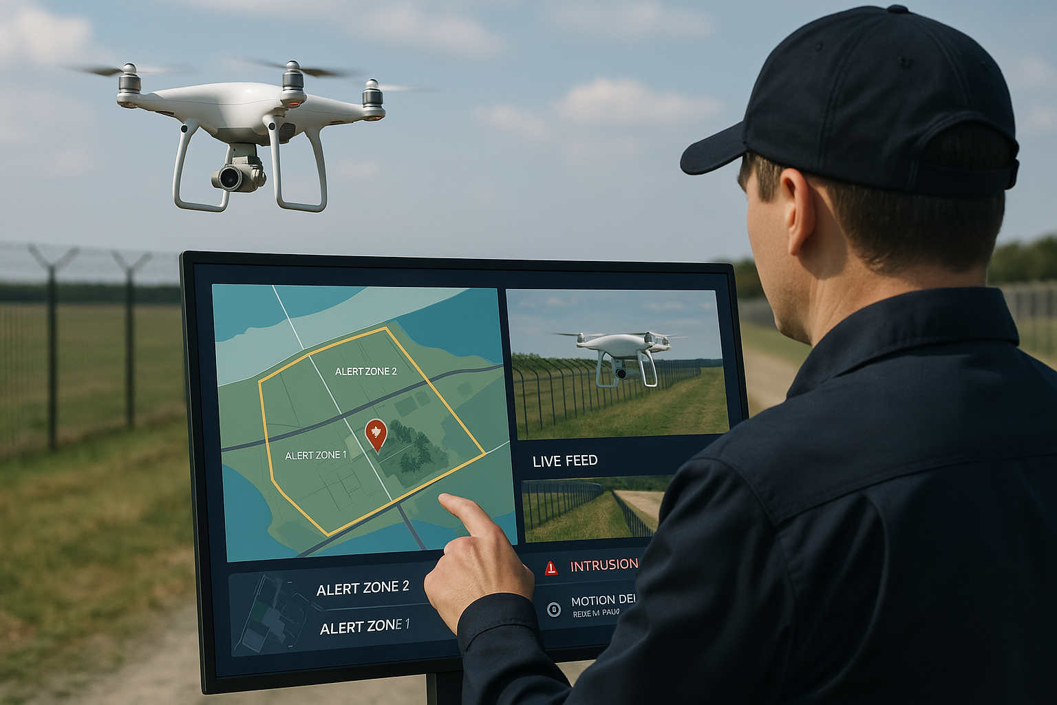
"The AI-powered security drones with real-time video analytics reduced our response time by 40%. The perimeter monitoring system has been crucial for our large industrial complex."

Priya Patel

Security Director

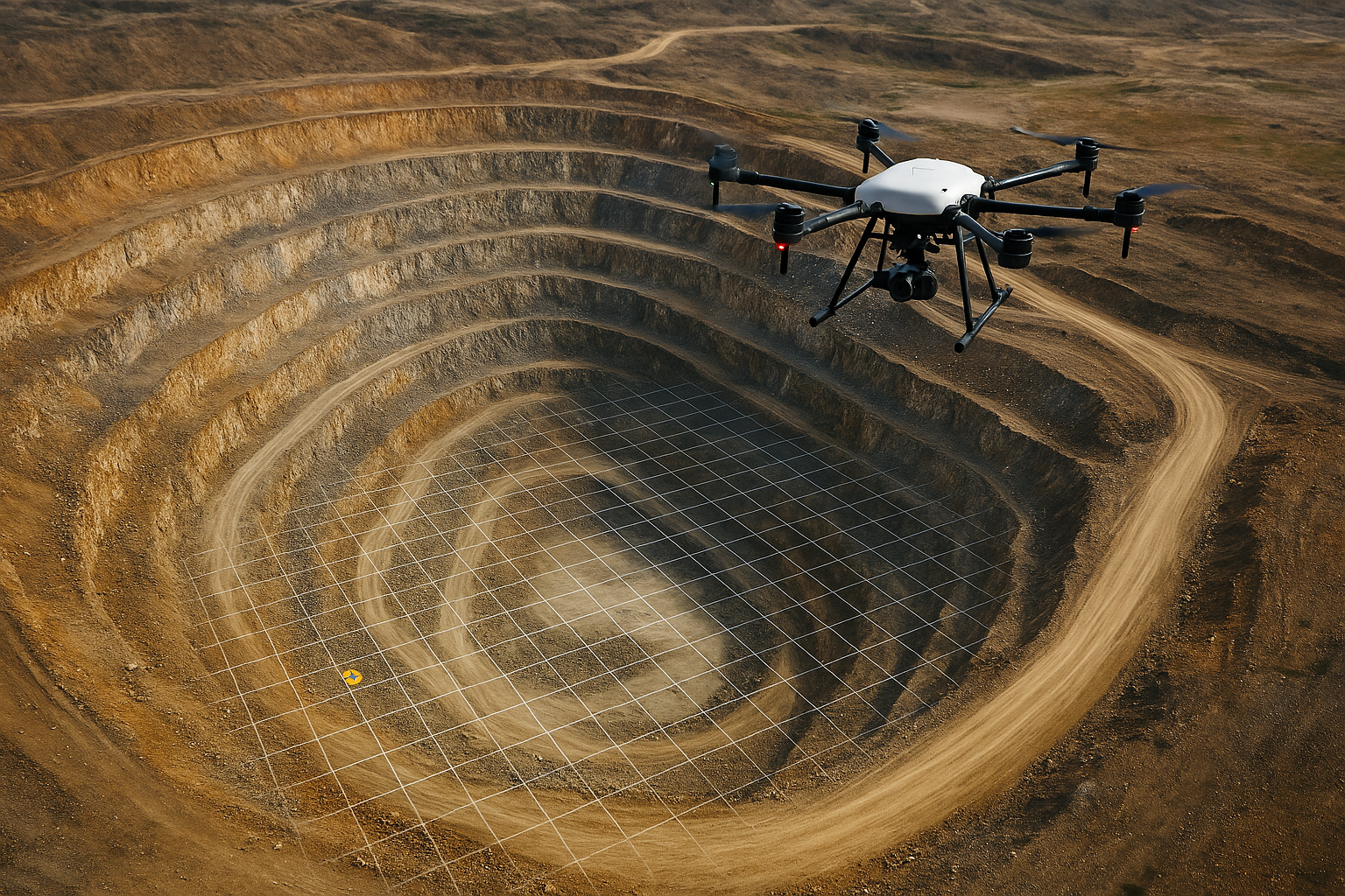
"The high-precision LiDAR mapping provided centimeter-level accuracy for our construction site. The 3D models helped us optimize earthwork and reduce material costs by 15%."

Rahul Verma

Construction Manager

Ready to Transform Your Business?

Contact Us on WhatsApp